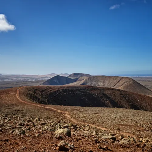
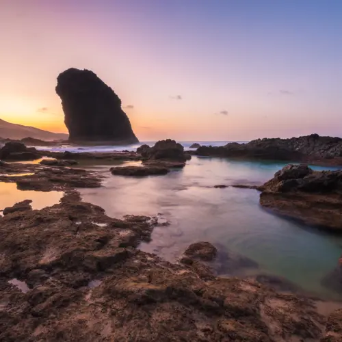
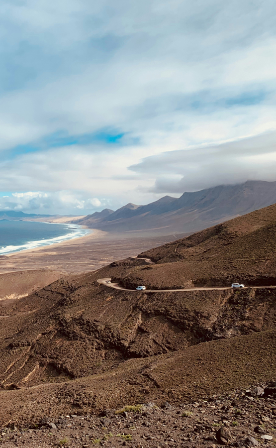
Volcanic chain, panoramic views of the north coast, Lobos and Lanzarote
Route
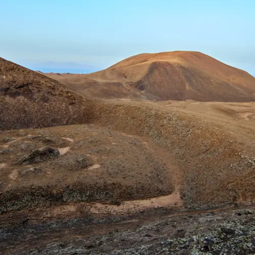
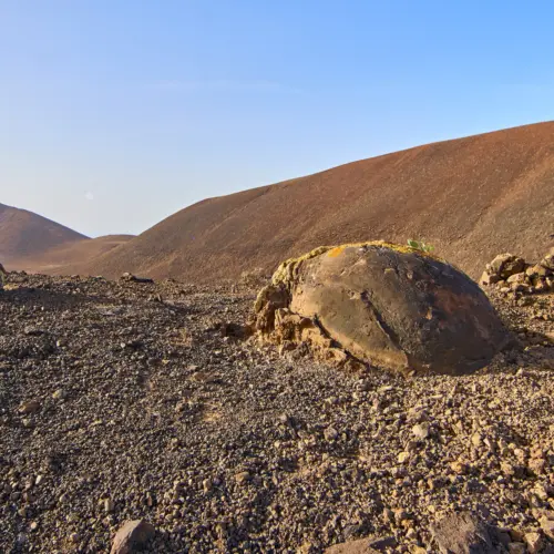
Hiking through the volcanic chain of the north
The „Sendero Bayuyo“ hiking route starts on the outskirts of Corralejo and leads through the impressive volcanic chain in the north of Fuerteventura.
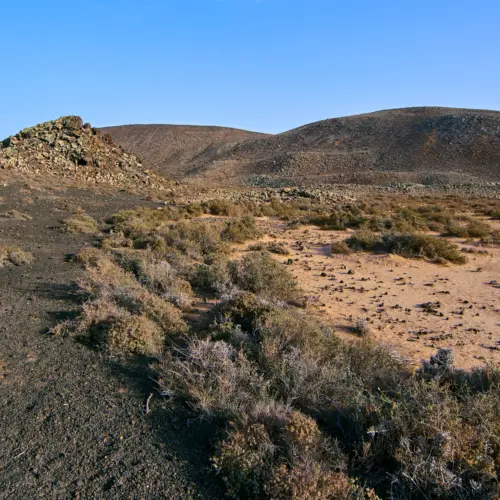
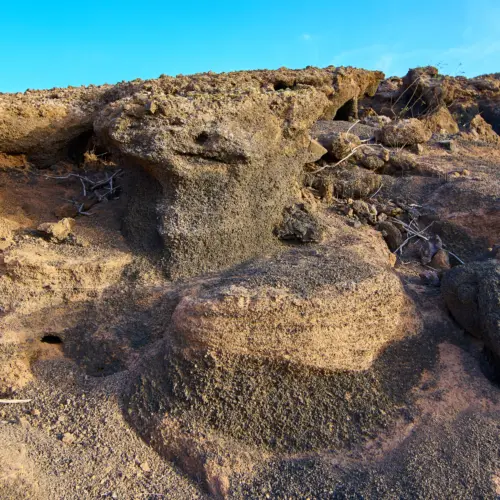
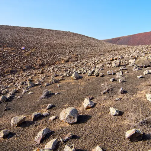
The route stretches over around 9 kilometres (there and back). It takes hikers across cooled lava fields and barren volcanic slopes that reveal the geological history of the island.
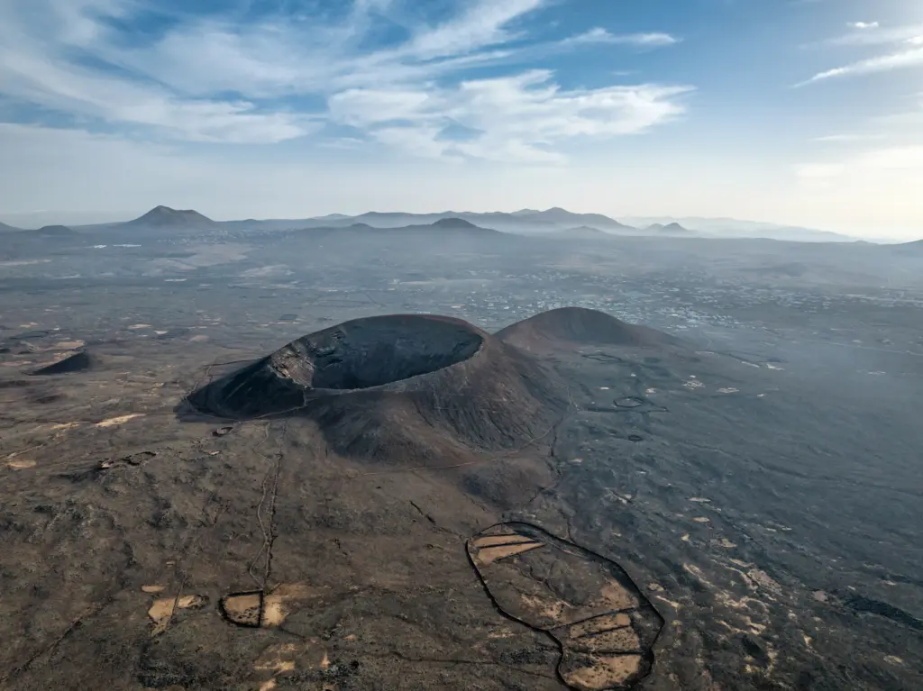
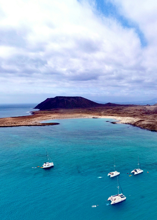
The destination of the hike is the Bayuyo volcano, from the summit of which a spectacular panoramic view opens up - of the neighbouring islands of Lobos and Lanzarote, the nearby Calderón Hondo and the numerous volcanic cones that stretch like a chain through the north of Fuerteventura.
Notice
Alternative route
Alternatively, the hike can also be started in Lajares and combined with an ascent to the crater of Calderón Hondo, which extends the route to around 14 kilometres (outward and return journey).
Weather
Corralejo
05:41, 07/03/2026
16°C
overcast clouds
62 %
1020 mb
36 Km/h
Wind Gust:
40 Km/h
Clouds:87%
Visibility:10 km
Sunrise:07:14
Sunset:18:59
Getting There
By car
The hiking trail starts either near Corralejo or Lajares, both of which can be reached via the FV-1.
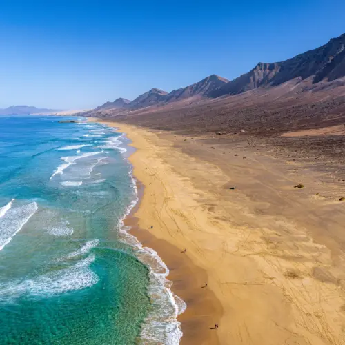
Fuerteventura is located around 100 kilometres west of the Moroccan coast. The island is known for its endless beaches, volcanic landscape and mild, sun-kissed climate, which attracts tourists all year round.
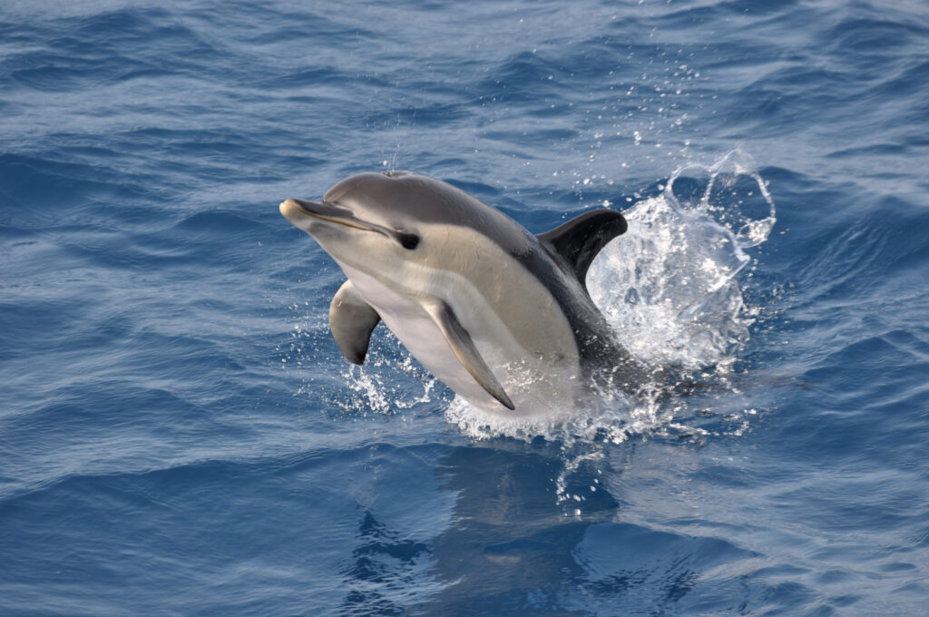
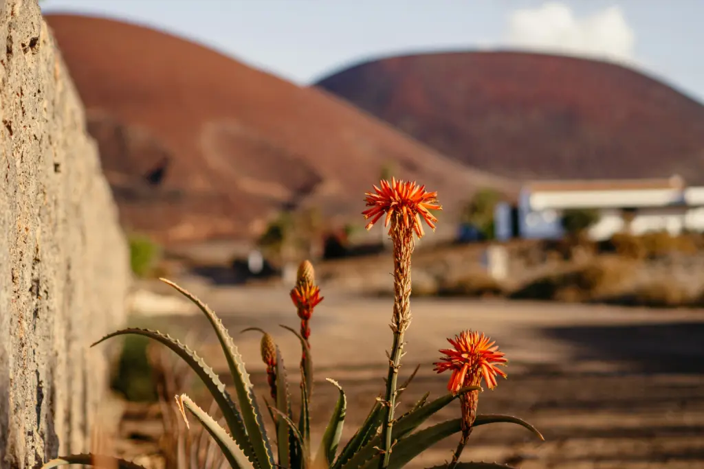
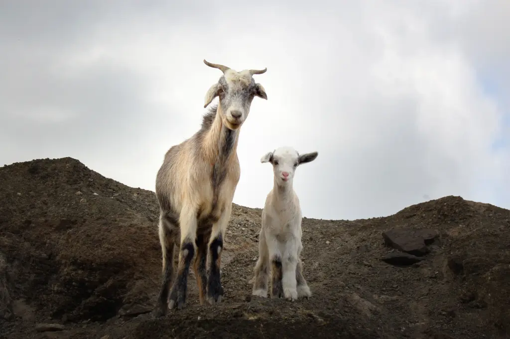
At first glance, Fuerteventura appears barren - but if you take a closer look, you will discover a surprisingly diverse fauna that has adapted to the hostile conditions: from land animals and birds to the rich underwater world.
Fuerteventura, the second largest island in the Canary Islands, is located around 100 kilometres west of the Moroccan coast. The island is known for its endless beaches, volcanic landscape and mild, sun-kissed climate.
Experience Fuerteventura according to your preferences and discover the many facets of the island on extraordinary day trips. No matter which route you choose, every day will be an unforgettable experience.