Impressive views and the Ermita de la Virgen del Tanquito chapel
Route
Chapel & historic water source
The hike to Montaña Cardón starts on the FV-618, about two kilometres northwest of the village of El Cardón. The starting point is marked by a car park located near greenhouses.
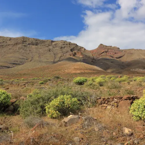
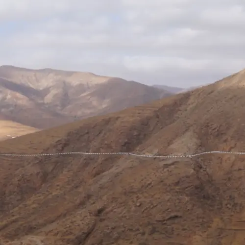
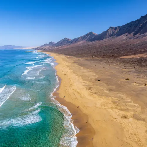
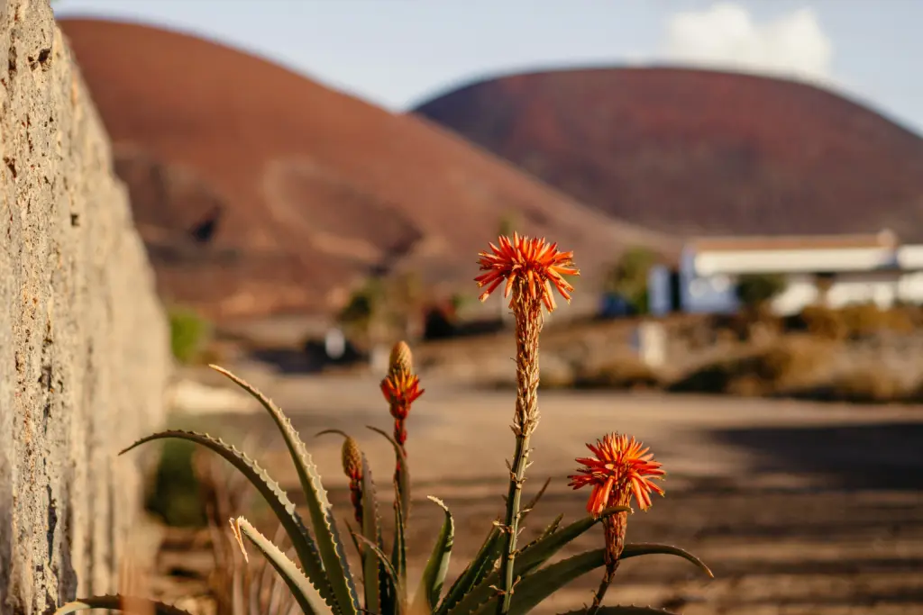
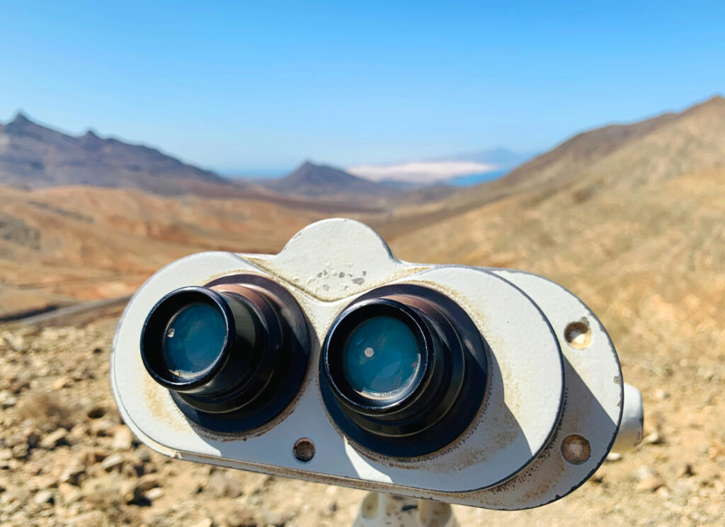
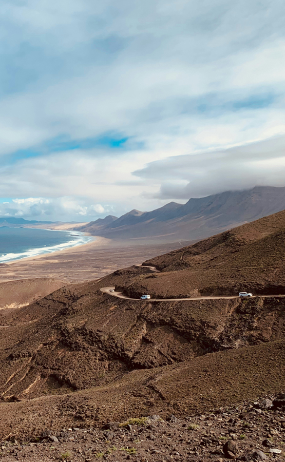
The trail initially leads uphill and offers spectacular views of the volcanic landscape and the west coast, including the impressive Pico de la Zarza, which at 807 metres is the highest point in Fuerteventura. The trail runs along the northern slopes of the mountain, which was revered as a sacred place by the indigenous people. The Montaña Cardón reaches a height of 691 metres and is one of the most striking mountains in the region.
Along the path, near the Ermita de la Virgen del Tanquito - a small chapel built directly into the rock - there is a historic water source. It was tapped in the 20th century to supply the surrounding population with drinking water and is still a reminder of the close connection between man and nature in this arid landscape.
The return journey follows the same route, giving you the opportunity to enjoy the impressive landscape again and possibly discover new details.
Notice
Equipment & sun protection
Sturdy footwear is essential on the stony and sometimes steep paths to Montaña Cardón.
As the route offers hardly any shade, you should also take headgear to protect you from the sun and plenty of water.
Weather
Ajuy
14:55, 02/08/2026
28°C
few clouds
64 %
1013 mb
30 Km/h
Wind Gust:
40 Km/h
Clouds:23%
Visibility:10 km
Sunrise:07:18
Sunset:20:46
Getting There
By car
The starting point of the hiking route is inland, on the FV-618, west of El Cardin.
There is a car park near the greenhouses. From there, the route leads directly along the foot of Montaña Cardón.
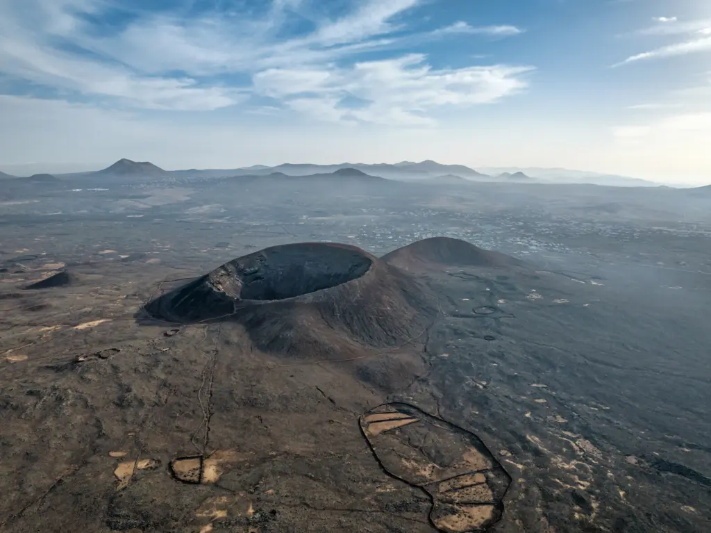
Fuerteventura is located around 100 kilometres west of the Moroccan coast. The island is known for its endless beaches, volcanic landscape and mild, sun-kissed climate, which attracts tourists all year round.
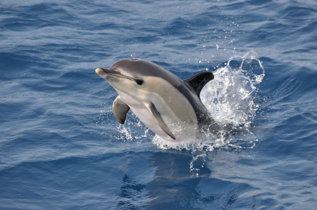
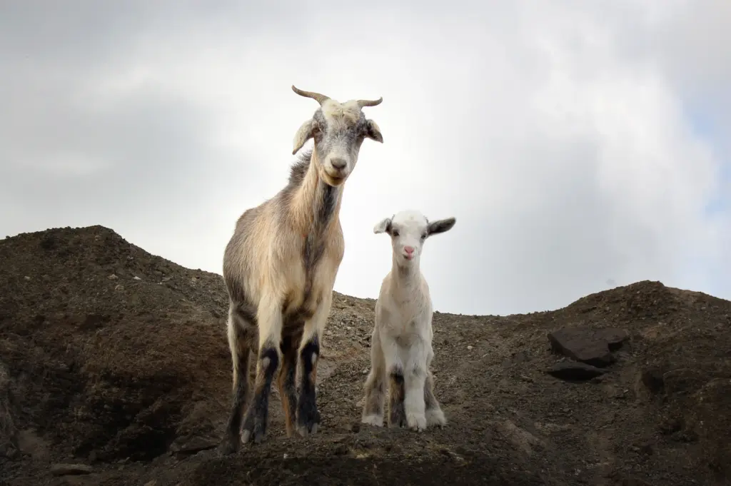
At first glance, Fuerteventura appears barren - but if you take a closer look, you will discover a surprisingly diverse fauna that has adapted to the hostile conditions: from land animals and birds to the rich underwater world.
Fuerteventura, the second largest island in the Canary Islands, is located around 100 kilometres west of the Moroccan coast. The island is known for its endless beaches, volcanic landscape and mild, sun-kissed climate.
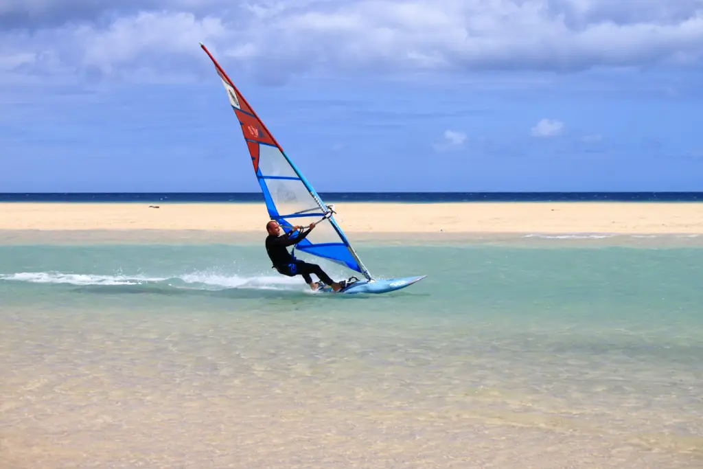
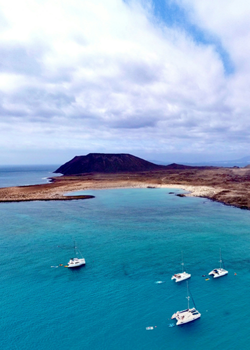
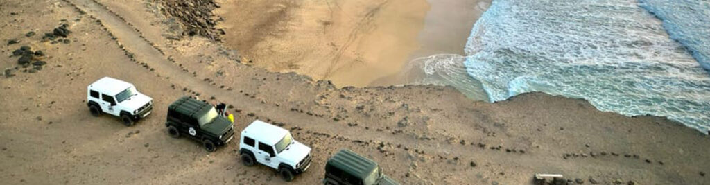
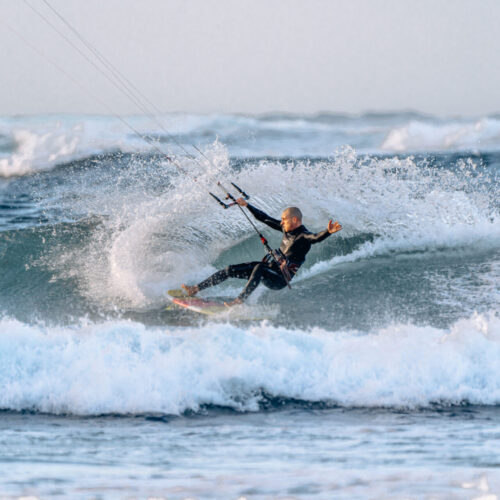
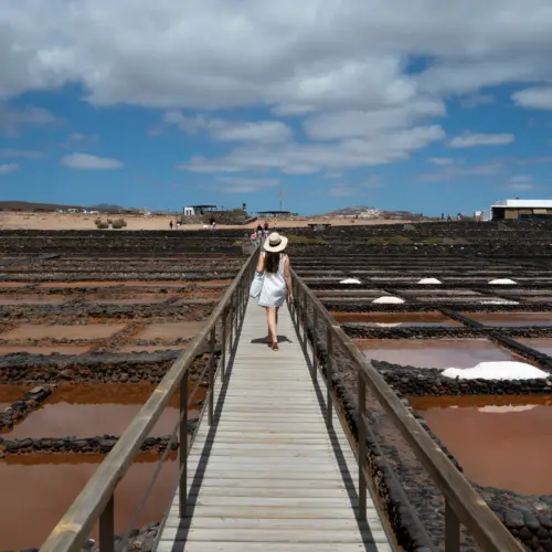
Experience Fuerteventura according to your preferences and discover the many facets of the island on extraordinary day trips. No matter which route you choose, every day will be an unforgettable experience.