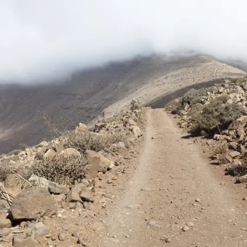
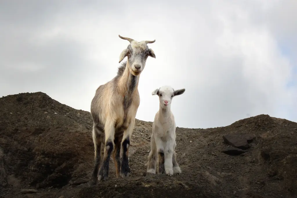
The hiking trail begins near the Jandía golf course and initially runs through an area characterised by old pastures and the occasional goat enclosure. Gradually, the view opens up to a rugged yet fascinating landscape with extraordinary rock formations and the island's typical vegetation.
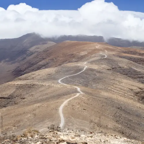
The route follows a well-marked track that winds gently through cactus fields, small ravines (barrancos) and past old cisterns and a traditional goat watering trough - silent testimonies to the agricultural culture of the region.
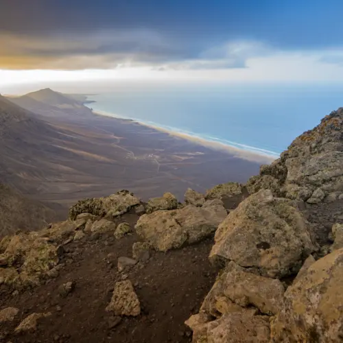
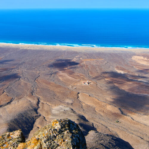
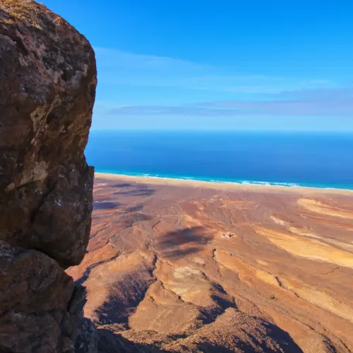
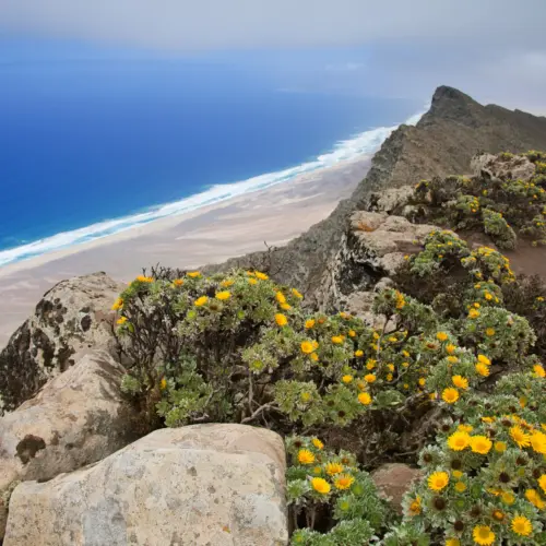
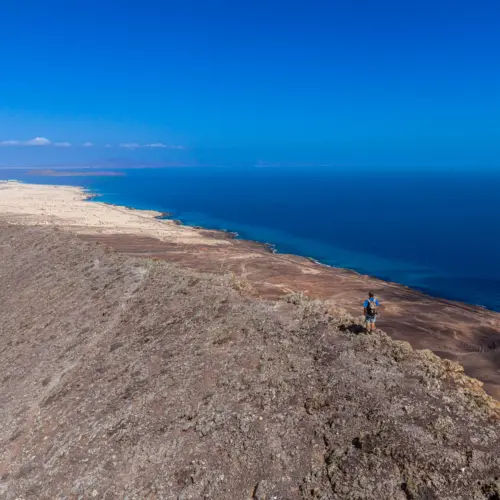
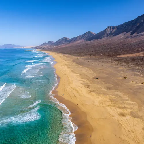
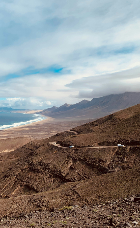
Once at the top, a spectacular panorama opens up over the unspoilt beaches of Cofete and the endless Atlantic Ocean.
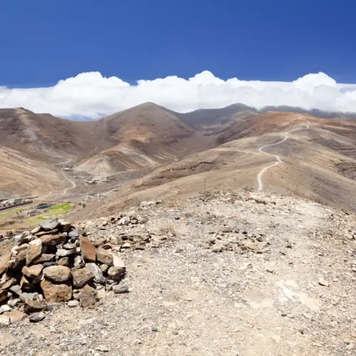
The way back follows the same route and finally leads back to the starting point near the golf course.
Notice
Weather & Equipment
Sturdy shoes, sufficient water and headgear are recommended, as there is hardly any shade along the route.
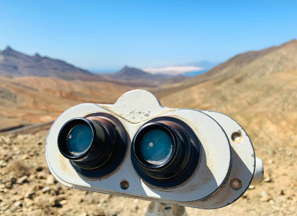
The open location of the summit can lead to noticeably stronger winds, especially in the upper sections of the route.
Clouds can restrict visibility. It is therefore important to check the weather forecast in advance.
Weather
Pico de la Zarza
23:55, 06/03/2026
14°C
overcast clouds
66 %
1022 mb
37 Km/h
Wind Gust:
41 Km/h
Clouds:96%
Visibility:10 km
Sunrise:07:17
Sunset:19:00
Getting There
By car
The hiking trail is located in the south of the island and starts at the edge of a golf course near Morro Jable, which can be reached via the FV-2.
Car parking is available directly at the starting point of the route.
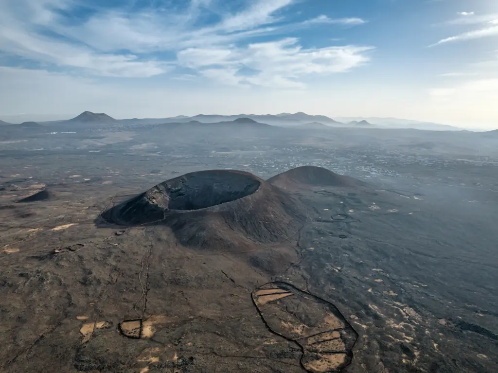
Fuerteventura is located around 100 kilometres west of the Moroccan coast. The island is known for its endless beaches, volcanic landscape and mild, sun-kissed climate, which attracts tourists all year round.
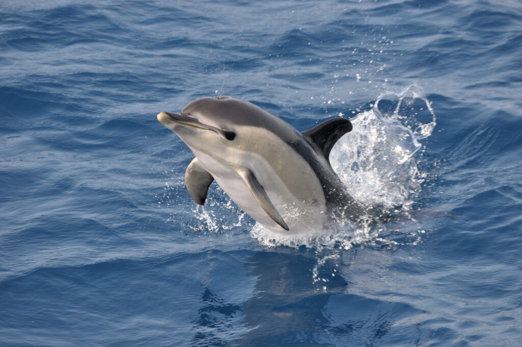
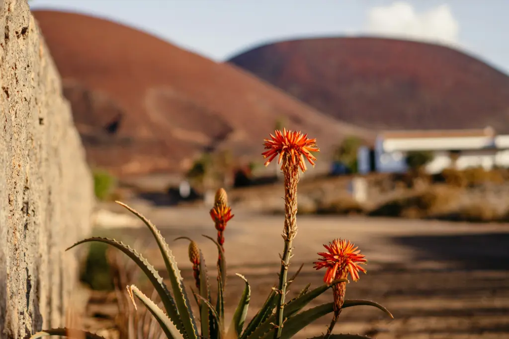
At first glance, Fuerteventura appears barren - but if you take a closer look, you will discover a surprisingly diverse fauna that has adapted to the hostile conditions: from land animals and birds to the rich underwater world.
Fuerteventura, the second largest island in the Canary Islands, is located around 100 kilometres west of the Moroccan coast. The island is known for its endless beaches, volcanic landscape and mild, sun-kissed climate.
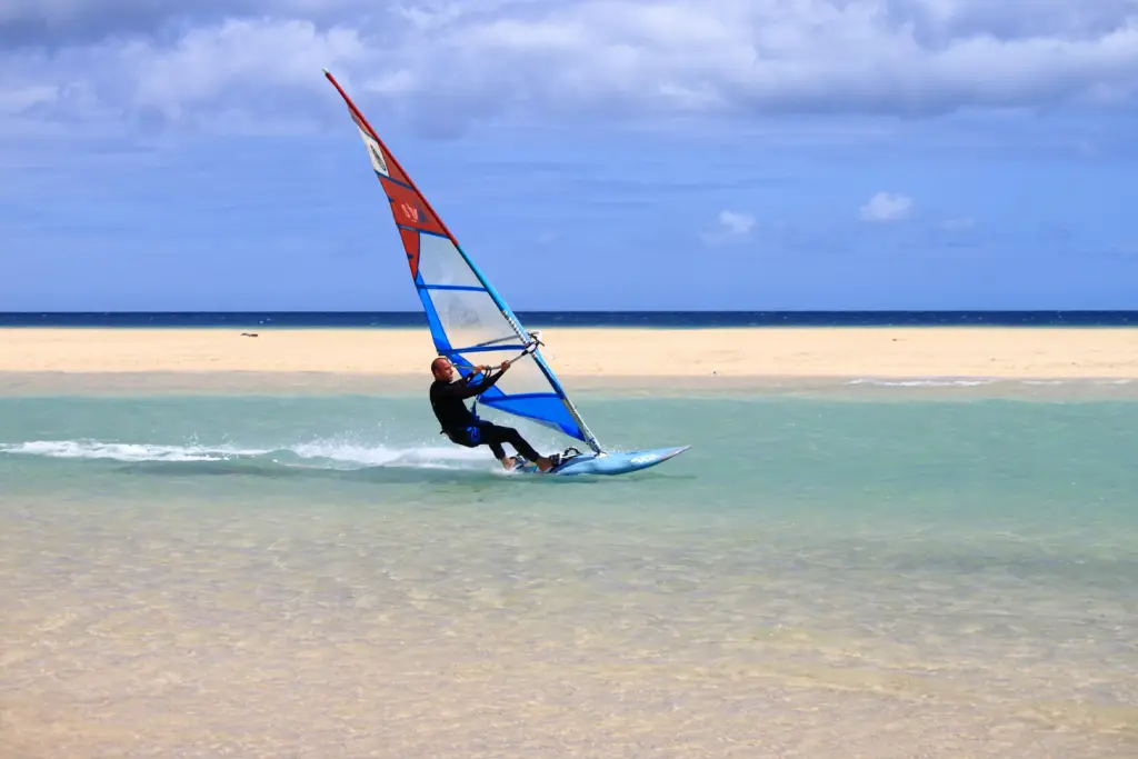
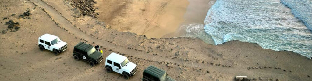
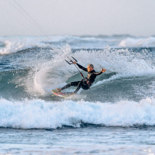
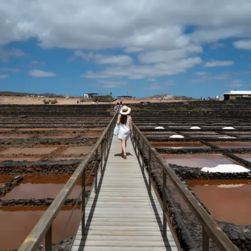
Experience Fuerteventura according to your preferences and discover the many facets of the island on extraordinary day trips. No matter which route you choose, every day will be an unforgettable experience.